



















GIS & Remote Sensing Mapping
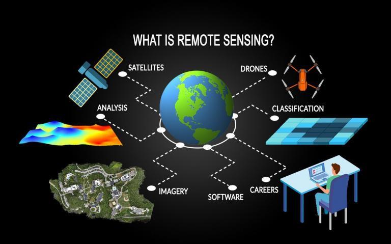
VVN stands as a premier provider of GIS services, remote sensing solutions, and mapping services, driven by an unwavering commitment to innovation and technology advancement. With over 9 years of industry experience, our skilled engineers and planners have crafted sophisticated GIS products and systems seamlessly integrated with remote sensing mapping, web GIS, and IT applications. This dedication to cutting-edge solutions has cemented VVN's reputation as a trusted GIS service provider.
Our extensive portfolio spans numerous GIS projects executed across Andhra Pradesh, harnessing the expertise of our GIS specialists grounded in strong fundamentals of GIS platforms. As a dedicated GIS organization, we offer a comprehensive suite of services including remote sensing, GIS mapping, spatial analysis, and the provision of GIS products such as maps and spatial databases. This commitment to quality ensures that clients derive maximum benefits from GIS technology, fostering their professional growth and satisfaction.
With a wealth of experience in land base surveys for cities like Chittoor, Kurnool, Kadapa, Nellore, Krishna, and Ananthapur, VVN boasts proficiency across all phases of the GIS lifecycle. Our team understands the intricacies of GIS mapping projects, offering tailored insights and solutions to meet each client's unique requirements. Notably, we have proudly supported APIIC in land base mapping projects throughout Andhra Pradesh, consistently delivering efficient and expert solutions. Clients can trust VVN for comprehensive GIS services, encompassing mapping, remote sensing, and urban and environmental applications, ensuring their needs are met with unparalleled professionalism and efficiency.